 Home
Home
The Story of
Centralia, Pennsylvania
MyHistoryStone Archive
1841
Centralia, Pennsylvania, United States
Location
The Anthracite Region, Columbia County
Circa
1962
In motion
5 photographs
The photographs on this page, brought to life.
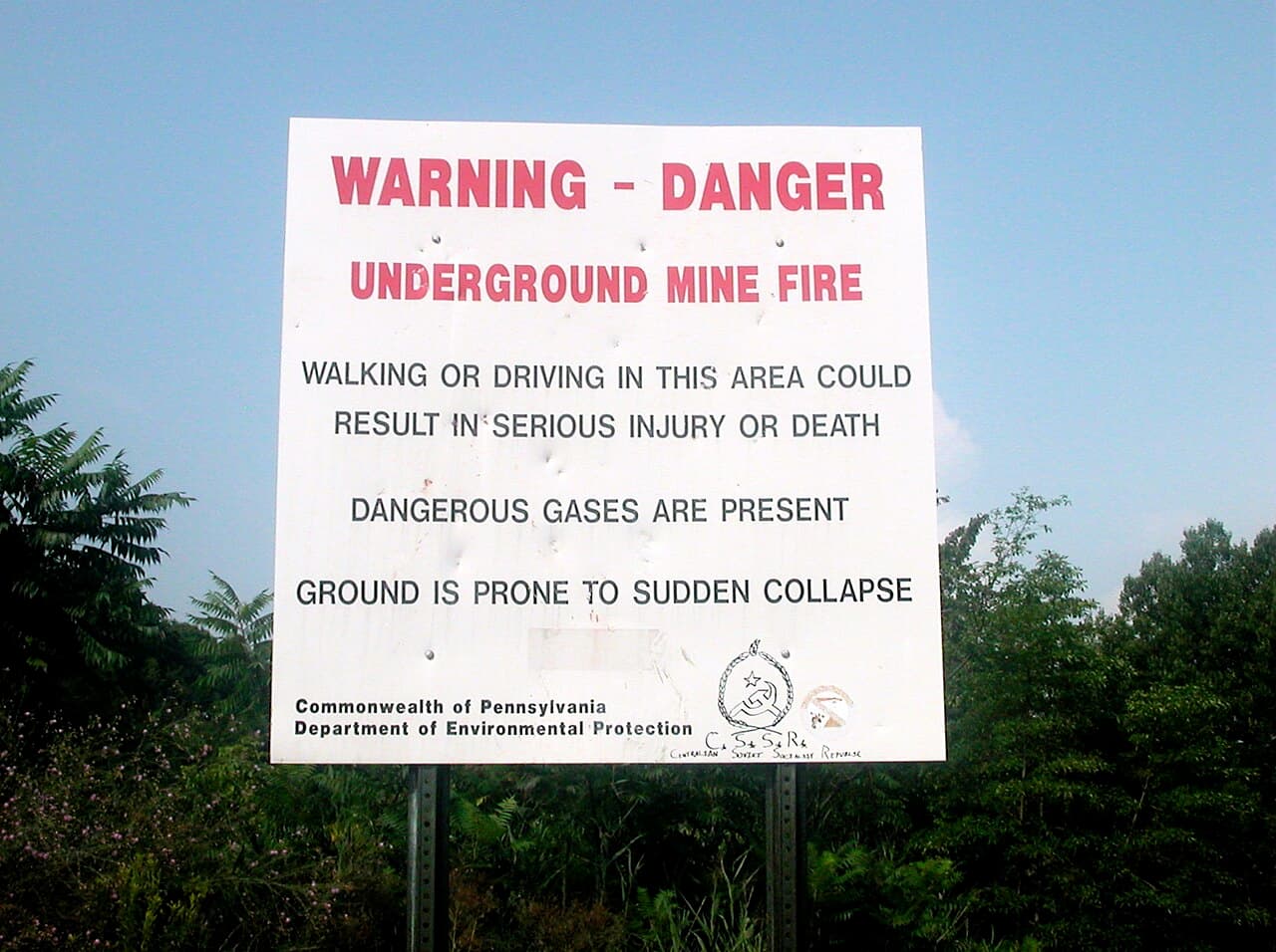
The state's warning sign about the underground mine fire, still standing at Centralia. Lyndi and Jason, via Wikimedia Commons (CC BY-SA 2.0)


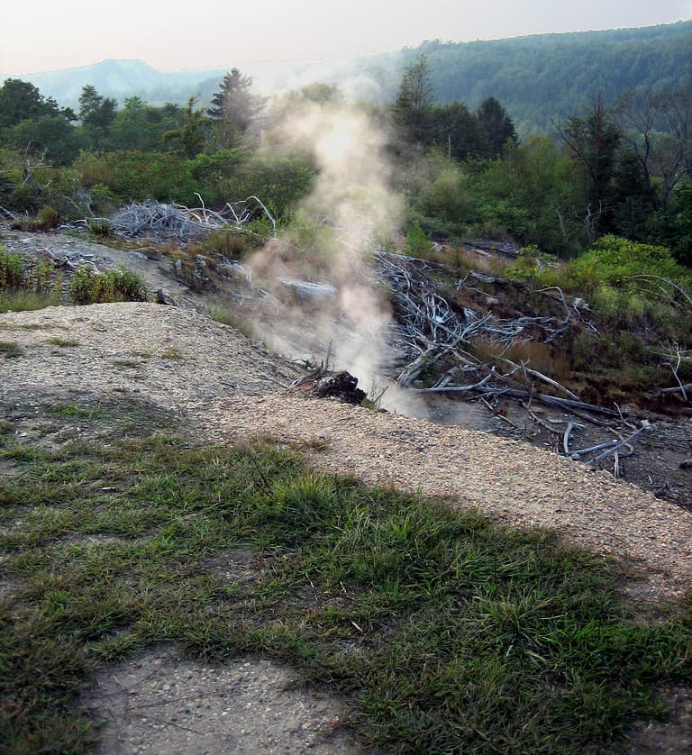
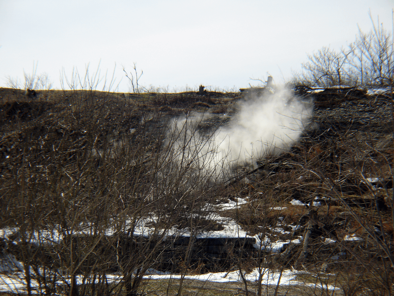
There is a town in the anthracite country of Pennsylvania with five people living in it, a revoked postal code, and a coal seam burning underneath it that has been alight since 1962. Centralia was founded in 1841 as Bull's Head, after a tavern. It took its present name in 1865 and was incorporated as a borough the following year. The first mines opened in 1856. At its peak, in the 1890 census, 2,761 people lived there, and the borough had seven churches, five hotels, twenty-seven saloons, two theatres, a bank, a post office and fourteen shops. The census figures after that read like a countdown: 1,986 in 1950, 1,012 in 1980, 63 in 1990, 21 in 2000, 10 in 2010, 5 in 2020. How the fire started is genuinely unresolved, and the accounts do not merely differ in detail. They differ in date, in cause, and in who is to blame. One source states plainly: "Analysts disagree about the specific cause." Here they are. The version most often told, from the author David DeKok, is that on 27 May 1962 the borough deliberately burned trash to clean up a landfill sited in an abandoned strip mine, and the fire found an unsealed opening into the labyrinth of worked-out mines beneath. A second account, from the author Joan Quigley, dates it a day earlier, to 26 May, and says a trash hauler dumped hot ash or coal into the open pit, and that the borough had failed to lay the fire-resistant clay barrier between layers of landfill that it was required to. A third holds that a coal fire at the Bast Colliery in 1932 was never fully put out and reached the landfill area thirty years later, an account disputed by name by a bootleg miner called Frank Jurgill Sr. A fourth, from Joseph Tighe, has an existing seam fire west of town igniting the landfill. And a contemporary letter to the Lehigh Valley Coal Company described "a fire of unknown origin [starting] on or about June 25, 1962, during a period of unusually hot weather," which is a different month again and blames nobody at all. They tried to put it out and the record of what that cost is exact. A contract with Bridy, Inc., from August to October 1962, cost $20,000 and excavated 58,580 cubic yards; it was judged to have made things worse by letting oxygen in. A second contract, with K&H Excavating, ran from November 1962 to March 1963 and cost $42,420 in the end; winter and broken equipment stopped the slurry going in properly. In 1963 three options were priced: a full trench with backfill at $277,490, a smaller trench at $151,714, a larger flushing project at $82,300. Pennsylvania abandoned remediation that year, on the cheapest possible grounds, which is that it was expensive. The fire burns at depths of up to three hundred feet along an eight mile stretch. Core temperatures are reported to have easily exceeded a thousand degrees Fahrenheit. How much ground it covers is itself disputed: about 3,700 acres by one account and some 400 acres along four fronts by another. For nearly twenty years the town lived with it. Then, on 14 February 1981, a twelve year old named Todd Domboski was in his grandmother's back garden when the ground opened under him. The hole was four feet across and a hundred and fifty feet deep. His fourteen year old cousin, Eric Wolfgang, pulled him out. The steam coming out of it was tested afterwards and found to carry a lethal concentration of carbon monoxide. That is the moment the story stopped being a local nuisance. Todd Domboski developed post-traumatic stress disorder and died of an overdose on 4 February 2022. In 1983 Congress allocated more than forty-two million dollars to move everybody out. Nearly all of them took it: more than a thousand people left and five hundred buildings came down. In 1992 Governor Bob Casey condemned every remaining building by eminent domain, and a legal challenge by the holdouts failed. In 2002 the Postal Service took away the town's ZIP code, 17927. Then on 29 October 2013 the state made an agreement with the seven people still there. They could stay until they died. Their properties would pass to the state afterwards. They received $218,000 between them for the value of their homes and a further $131,500 to settle the rest of the claims. Byrnesville, the next village down, went too, and gets less attention because it went quietly. It was settled from 1856 by Irish Catholic miners, and in 1985 about seventy-five people lived in twenty-nine houses there. The elementary school closed in the 1930s. The last house came down in 1996. What is left is a shrine to the Blessed Virgin Mary on a hillside by Route 61, a shipping container, and the remains of a garage going back to the trees. In Centralia itself the Ukrainian Catholic church, the Assumption of the Blessed Virgin Mary, is still in use. How long it will burn is a projection and everyone repeats it as though it were a measurement. The figure given is another 250 years at the current rate. On how much coal is actually left, the honest answer from the record is that "the exact amount of coal is not known." The abandoned stretch of Route 61 became Graffiti Highway and then a tourist attraction, and in April 2020, in the first weeks of the pandemic, the owners covered the whole thing with several hundred mounds of dirt to stop people coming. We looked for a historical marker about the fire and there is not one. We looked for a photograph of the town in the Library of Congress and found nothing at all. A town of two and a half thousand people is disappearing and the official record of it is a set of contract prices and a census column going down. If you lived there, or your family did, or you have a photograph of the place when it had twenty-seven saloons in it, we would like to put it here. Compiled by MyHistoryStone from published histories of Centralia and of the Centralia mine fire, the record of the borough's census returns, published accounts of the 1983 relocation appropriation and the 2013 settlement, and the published history of Byrnesville, Pennsylvania.
Add to this story
Know something about Centralia, Pennsylvania? Add it here - a memory, a detail, a correction. What you write appears right away, and the page owner can remove any entry.
Loading messages...