 Home
Home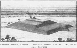
The Story of
Cahokia
MyHistoryStone Archive
1050 – 1350
Collinsville, Illinois, United States · 300 years
Location
The American Bottom, east of the Mississippi
Circa
1100
In motion
6 photographs
The photographs on this page, brought to life.
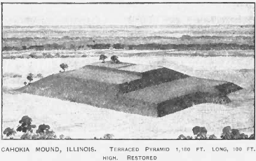
An artist's reconstruction of Monks Mound published in 1907 as a terraced pyramid, restored. U.S. Federal Government, via Wikimedia Commons

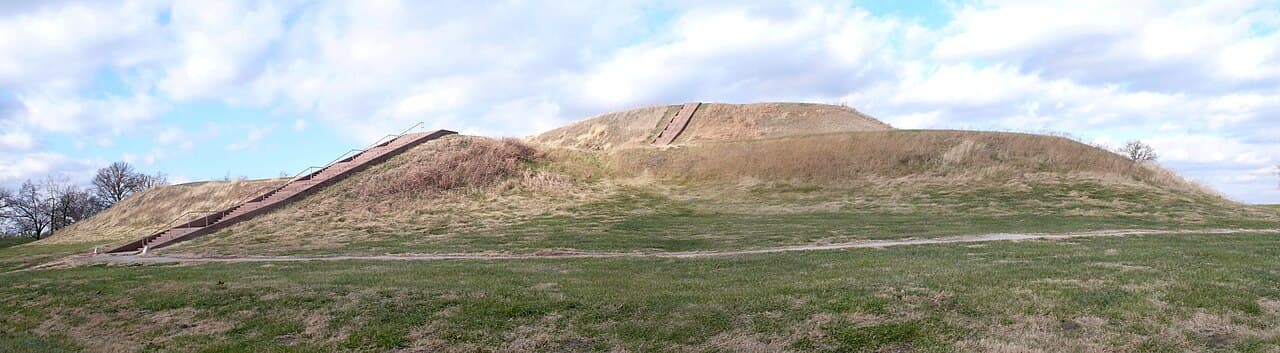
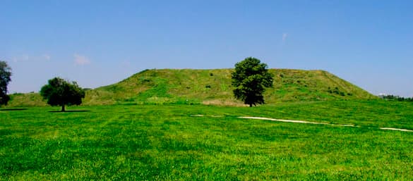
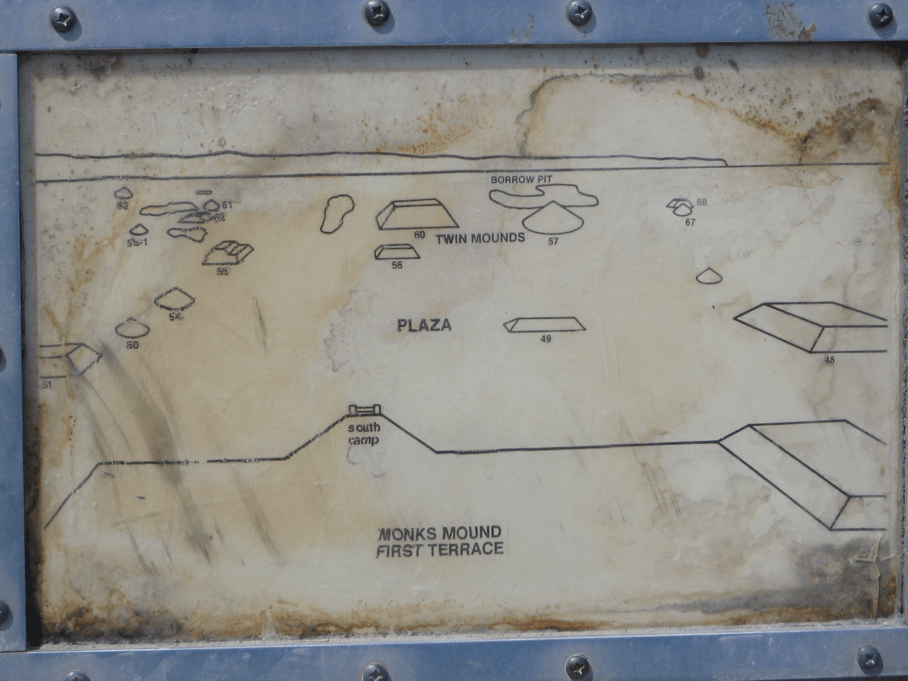
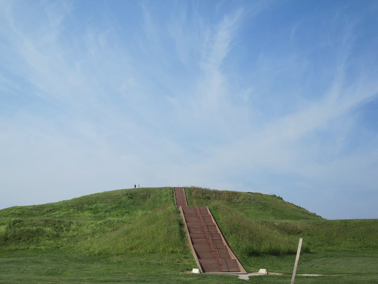
We do not know what the people who built this city called it. That is the first thing to say about the largest pre-Columbian settlement north of Mexico, and it stays true no matter how much else gets excavated. The name Cahokia belongs to a group of the Illinois Confederation who moved into the area in the middle of the seventeenth century, hundreds of years after the city was empty. The French met them, wrote down their name, and attached it to the mounds. The builders left no name we can read. At its height, around AD 1100, the city covered about six square miles across the Mississippi floodplain from what is now St. Louis, and held roughly a hundred and twenty earthen mounds. How many survive depends entirely on who is counting. UNESCO says fifty-one within the inscribed property. The Illinois state historic sites agency says seventy of the original hundred and twenty. The site's own website says seventy-six within its present boundaries. Another account says about eighty in the park. The National Register nomination says roughly forty on state property and forty to fifty more on private land. Five credible sources, five different answers, and we have printed all of them rather than pick the tidiest. Across the river, the mounds that once stood in downtown St. Louis were carted away for fill in the middle of the nineteenth century. The one everybody comes to see is Monks Mound. It stands a hundred feet high, covers something between thirteen and fifteen acres at its base depending on which measurement you take, and holds an estimated twenty-two million cubic feet of earth, every basket of it carried by hand. It has four terraces and was built in stages, somewhere between eight and fourteen of them by core drilling, mostly between AD 950 and 1200. Excavation on the fourth terrace found evidence of a large building, most likely a temple or the residence of the paramount chief. It is called Monks Mound because French Trappist monks lived on a neighbouring mound from 1809 and planted gardens, fruit trees and wheat on its terraces. The site's own marker gives the end of their tenancy as 1913 and another source gives 1813, which is a hundred year discrepancy sitting in plain sight on a sign in front of the mound. The dates of the city itself run roughly like this. Small settlements along Cahokia Creek in Late Woodland times, AD 700 to 800. Expansion and merging between 800 and 1000. Then something happens around 1050 that archaeologists describe as a big bang, when the three urban precincts appear more or less at once. Peak between 1050 and 1150. Change and decline through the 1200s. By 1350 to 1400 it was abandoned, and there was no settlement of any substantial kind in the region from 1400 to 1600. The population figures are the great unresolved argument. The site's own marker, UNESCO, the Illinois state agency and the site's website all give ten to twenty thousand at the peak. The National Register nomination says Cahokia "may have supported 40,000 people at its height." A survey of the scholarship gives a range of six thousand to forty thousand. On the comparisons, notice who hedges and who does not: three official sources state flatly that Cahokia was larger than London was in AD 1250, while UNESCO says only that it was "comparable to major European cities of that era," and the familiar claim that no city in what became the United States was larger until Philadelphia passed forty thousand in the 1780s is stated conditionally, on the highest estimates being correct. West of Monks Mound stood a series of timber circles, five of them, built between about AD 900 and 1100, each larger than the last. They were found by Warren Wittry during salvage archaeology ahead of interstate construction in the early 1960s. The third has been reconstructed with forty-eight posts of red cedar and a central post. The reading of them as a solar calendar is an interpretation of their alignments rather than an established fact, and the sources are careful to say so, though the state does hold public sunrise observations at the solstices and equinoxes. Then there is Mound 72, which is the hardest thing on the site and the most important. It holds somewhere between two hundred and two hundred and seventy-two people, buried in at least six episodes over roughly a century. Scholars believe almost sixty-two percent of them were sacrificed. There is a mass grave of more than fifty young women arranged in two layers. Another of about forty people who appear to have been violently killed, some of whom may have been buried alive. Four young men with their hands and heads missing. And there is a cache of several hundred arrowheads of very fine workmanship, made in styles and materials traceable to Oklahoma, Tennessee and Wisconsin. The central burial in that mound is why this page argues that the record here is still moving. For decades it was described as a great man laid on a platform of ten thousand marine shell discs arranged in the shape of a falcon, the bird's head beside his head and its wings and tail beneath his arms and legs. The Birdman. In 2016 a reanalysis published in American Antiquity reported that the two central bodies on that bead platform were a man and a woman. One of the most reproduced images in American archaeology, and it was not what it had been said to be for forty years. A palisade two miles long with bastions enclosed the central precinct, needing fifteen to twenty thousand oak and hickory logs standing twenty feet high, and it was rebuilt three times over two hundred years, each rebuilding enclosing less of the city than the last. Even here the sources will not quite commit: the same reference work says the bastions show it was mainly built for defence, and also that it "may have been more for ritual or formal separation than for military purposes, but bastioned palisades almost always indicate warfare." Why it emptied has never been settled. The marker standing on the site lists depletion of resources, internal social and political unrest, friction and conflict with other groups, climatic change, soil exhaustion from intensive agriculture, and loss of control over other sites, and prefixes the whole list with "may be attributed to a combination of many factors." Recent research is reported to find no evidence of human caused erosion or flooding at all, and evidence instead of channels, dikes and levees protecting the central city, which cuts against the popular story that Cahokia cut down its own forests and drowned itself. Thomas Emerson and Kristin Hedman have argued that a large immigrant population never cohered into a single Cahokian identity. Around 1160 a large walled residential compound in the East St. Louis precinct burned down. Take your pick, and know that the people who study it have not. On descendants the sources are careful and so are we. Many Native nations recognise the site as important to their heritage, and people still come to the grounds to hold ceremony and dance. Ponca oral tradition speaks of an ancestral time at Cahokia and calls the place P'ahe'zide, red hill. The Osage Nation is a primary collaborator with the archaeologists and site management, and bought Sugarloaf Mound, the last surviving mound in St. Louis. What no source we could reach asserts is a straight documented line from the builders to any single nation living today, and we are not going to assert one here. The site was first protected by Illinois in 1923, designated a National Historic Landmark on 19 July 1964, listed on the National Register in 1966, and inscribed as a World Heritage Site in 1982 under two criteria. The first: "Cahokia Mounds is the largest pre-Columbian archaeological site north of Mexico; it is also the earliest of the large Mississippian settlements." The second: "Cahokia graphically demonstrates the existence of a pre-urban society in which a powerful political and economic hierarchy was responsible for the organization of labor, communal agriculture, and trade." UNESCO lists the current threats as erosion from natural and human causes, development, flooding and flood control, and damage to buried features from deep rooted plants. Most Americans have never heard of this place. If you grew up near it, or dug there, or your family farmed one of those mounds before anyone protected it, we would like to hear about it. Compiled by MyHistoryStone from the UNESCO World Heritage listing for Cahokia Mounds State Historic Site, the National Register of Historic Places nomination, the Illinois state historic sites agency, Cahokia Mounds State Historic Site's own published material, the National Park Service, and the inscriptions on the site's own interpretive markers.
Add to this story
Know something about Cahokia? Add it here - a memory, a detail, a correction. What you write appears right away, and the page owner can remove any entry.
Loading messages...