 Home
Home
The Story of
Elbowoods, North Dakota
MyHistoryStone Archive
1889 – 1954
Fort Berthold Reservation, North Dakota, United States · 65 years
Location
Fort Berthold
Circa
1889
In motion
3 photographs
The photographs on this page, brought to life.
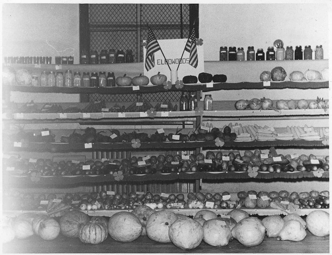
A 4-H food display at Elbowoods in 1942. The town had twelve years left. National Archives and Records Administration, via Wikimedia Commons.
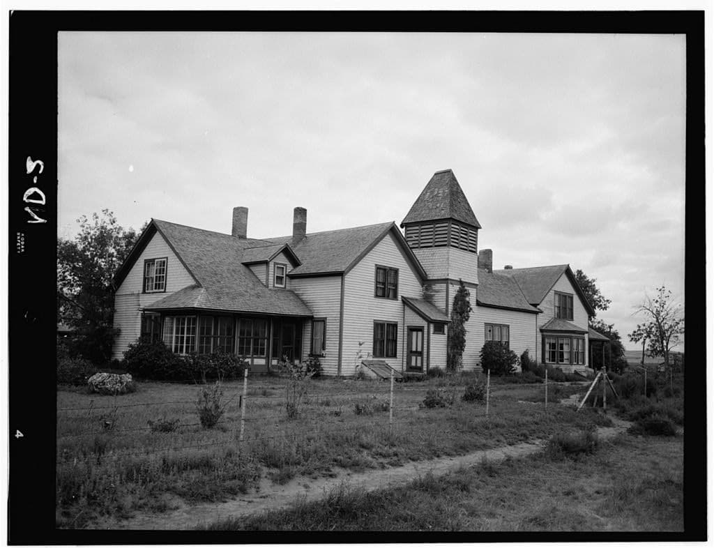
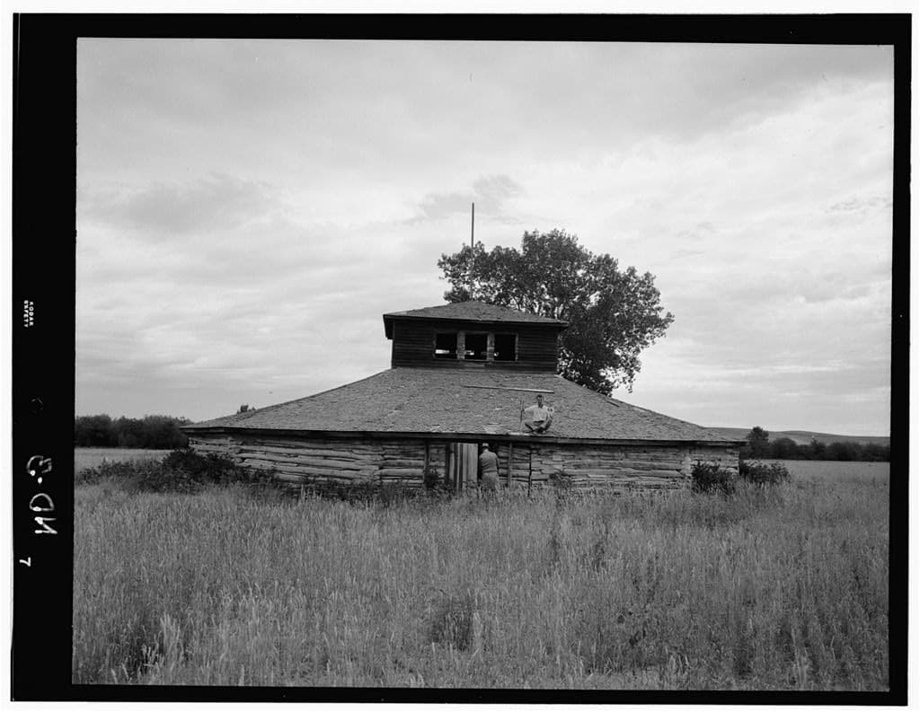
There is a photograph from 1948 of a man holding his glasses aside so he can wipe his eyes while the Secretary of the Interior signs a piece of paper. The man is George Gillette, and the paper sold the best land the Mandan, Hidatsa and Arikara had. Elbowoods stood at a sharp bend in the Missouri River in a thick grove of trees, which is where the name came from. It had been the agency headquarters of the Fort Berthold Reservation since about 1891 — sources give 1888, 1889, 1891 and 1892 — and it held a school, a hospital, a flour mill, a post office, a convent, a Congregational mission and several gas stations. Around it were Lucky Mound, Nishu, Red Butte, Charging Eagle, Independence, Shell Creek, Beaver Creek, Sanish and Van Hook. The high school won the state Class B basketball championship in 1942. All of it is under Lake Sakakawea. The Flood Control Act of 1944 authorised the Pick-Sloan plan, and the Garrison Dam was one of its pieces: two and a half miles long, over two hundred feet high, sixty-six million cubic yards of earth, at the time the largest rolled earthen dam in the world. Construction began in 1946 or 1947 depending on which marker you read. The reservoir began to fill on 29 April 1953. What it took is stated four or five different ways. Congress, in a statute of 1992, called it 156,000 acres. The Army Corps' own marker says 155,000. The Corps' land records say 153,000. Other sources give 152,360 and 152,000. What share of the reservation that amounted to is put at one-sixth, one-fifth and one-quarter by different sources, and none of them reconcile. What is not in dispute is which land it was. The tribes lost the bottomlands, the fertile wooded river valley they had farmed for generations, and were moved onto upland running from Class III to Class VI soil where the old ground had been Class I and II. The share of the reservation's agricultural land that went under is given as ninety-four percent. The tribal negotiator W. L. Gipp described where they were going: "Away from the river, even the jackrabbit packs a box lunch." Cora Baker described what they were leaving: "In the days before the dam, every Indian family had livestock and property. They had grain crops and gardens. Because we were able to grow grain along the fertile river bottom, we were self-sufficient." Donald Goodbird described what could not be moved at all: "The fasting areas, the sacred places are all under water." The Corps' own marker now states that eighty percent of the reservation's residents, 325 families, were forced off. About fifteen hundred graves were dug up at Elbowoods and reburied on higher ground. The contract was signed on 20 May 1948. Gillette, the tribal chairman, spoke first. The text was transcribed from the Washington Post and the Chicago Tribune of the next morning: "You will excuse me, if, first I say that we will sign this contract with a heavy heart. With a few scratches of the pen, we will sell the best part of our reservation. Right now the future does not look too good for us. We are worried and we wonder whether everything will come out all right in the end." And further on: "The truth is, as everyone knows, our Treaty of Fort Laramie, made in 1851, and our Tribal Constitution, are being torn into shreds by the contract." He signed it anyway, and he said why: "It is because all of us have faith in our government." The money is disputed too. The 1948 contract paid $5,105,625. An independent appraisal valued the land at $22 million. Congress added $7.5 million in 1949, and the Corps' marker gives the total as $12.6 million, noting that it "fell far short of the land's appraised value" and that "many tribal members worried that rejecting the funding could result in lower subsequent offers." The Taking Act itself, Public Law 81-437, was not passed until 29 October 1949, after the fact. Elbowoods was abandoned in April 1954 with about 175 people still living in it. The agency moved to New Town. The Four Bears Bridge was taken apart and re-erected further west. In 1985 the government convened a committee to assess what the dams had done. In 1987 it concluded that the tribes at Fort Berthold and Standing Rock "bore an inordinate share of the cost" of Pick-Sloan. Congress concurred in 1992 that the United States "did not justly compensate such Tribes," and set up a recovery fund capped at $149.2 million, of which only the interest could be spent and none of it distributed per capita. In 2016 nearly 25,000 acres were restored. At a congressional hearing in 2001 someone testified that what was lost can never be compensated for with money. The MHA Nation runs an interpretive centre at New Town with an exhibit on Elbowoods. The Corps put up markers at the dam overlook in 2025 acknowledging what is underneath the water. If your family was moved off that bottomland, that is a story no marker can hold. Put it here. Compiled by MyHistoryStone from the MHA Nation, the U.S. Army Corps of Engineers markers at the Garrison Dam overlook, North Dakota Studies, the University of Maryland's transcription of George Gillette's 1948 speech, the National Archives, and the Three Affiliated Tribes and Standing Rock Sioux Tribe Equitable Compensation Act of 1992.
Add to this story
Know something about Elbowoods, North Dakota? Add it here - a memory, a detail, a correction. What you write appears right away, and the page owner can remove any entry.
Loading messages...